Lorient Agglomeration « Down to Earth »
The workshop took place on the afternoon of the final day of the Blue Transition seminar, which brought together around fifty European participants. After a morning of observation in the field at the Ploemeur Guidel critical zone observatory, the afternoon was divided into two parts: the first as a return from the field with an exhibition of maps from the observatory using an alternative reference system, and the second as a time for action with a participatory workshop.
The maps in the exhibition showed how, with the help of scientists’ sensors, it is possible to describe an environment, a system, despite the fact that it is made up of invisible entities and that, in traditional maps, it is impossible to understand its dynamics, particularly the surface-underground relationship (more information here). The observatory maps were accompanied by prospective maps resulting from the prolongation of a thesis directed by Laurent Longuevergne, showing how these maps could be used to plan a territory.
The aim of the Down to Earth workshop was to bring people together for the first time to come up with solutions, or even sketch out solutions, to the issues raised by Blue Transition. The ‘ Où atterrir ’ (Where to land) procedure is the result of action research carried out by SOC (and previously by Bruno Latour) over the last 5 years. It addresses the question of the political circle, the levels of decision-making and the requests that a collective is empowered to address in order to ensure that they are implemented. Details of the procedure are available here: http://s-o-c.fr/index.php/ncd/
In the afternoon, we set up a fast-track procedure, a special moment when everyone answers the questionnaire and then shares their concerns. A round of the circle is used to choose the people who will be at the centre of the compass for the duration of the exercise, based on the quantity and quality of the enemies identified.
SOC has made it clear that the procedure is usually a long one, taking at least a year.
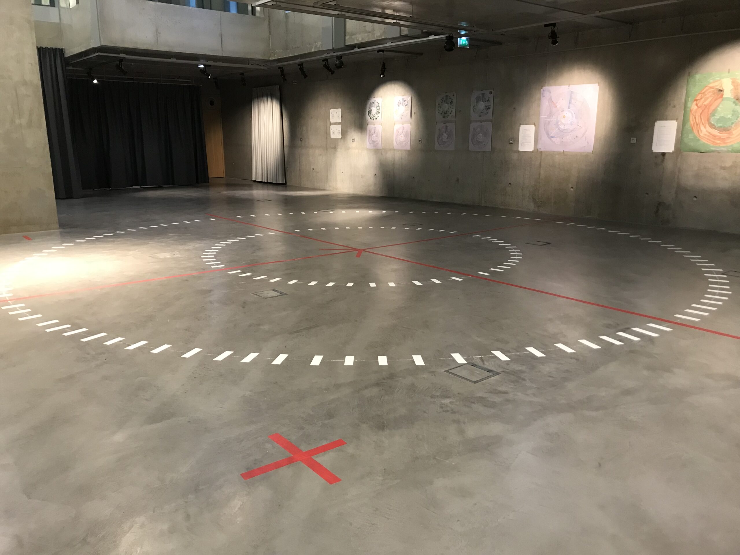
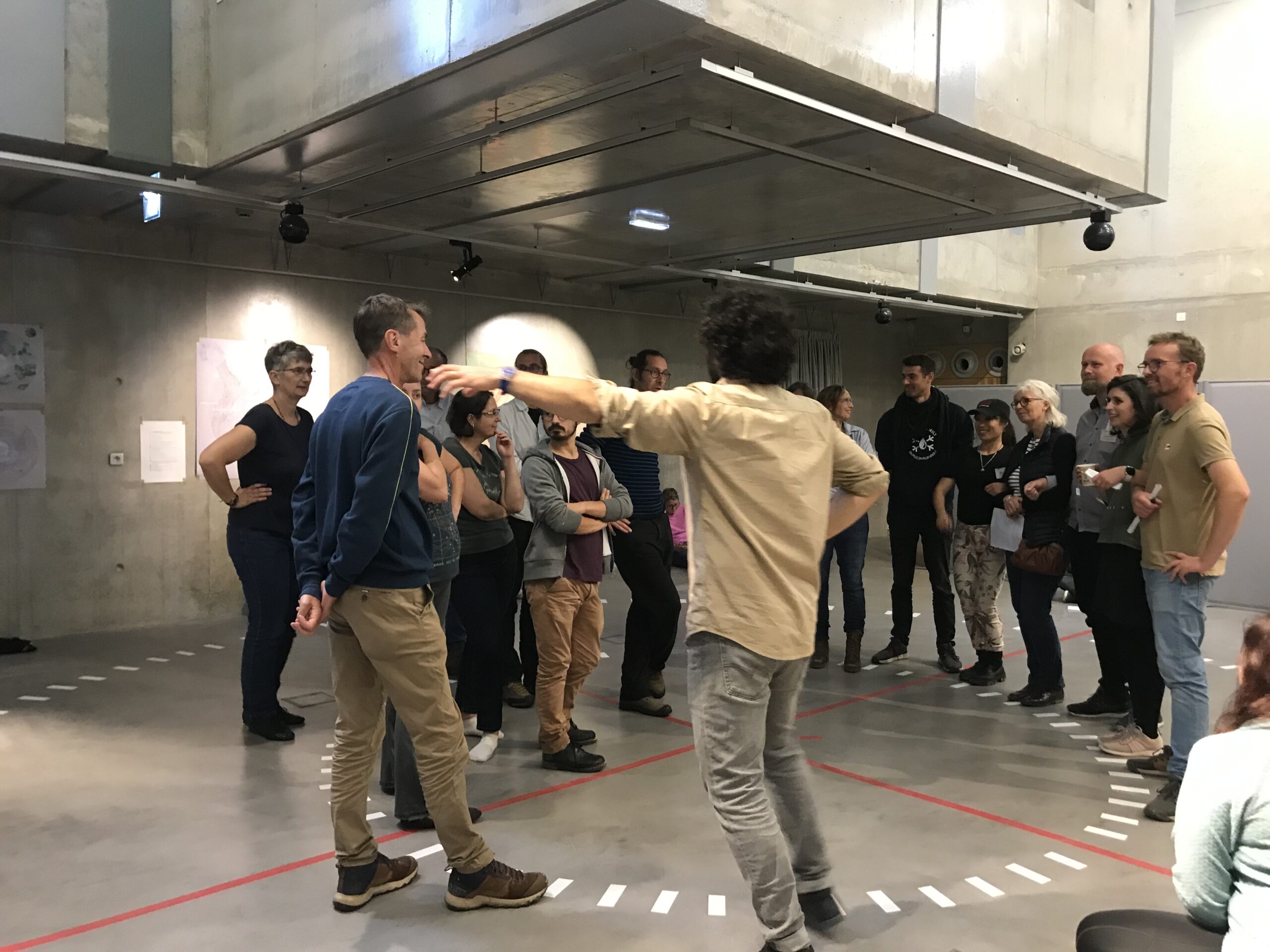
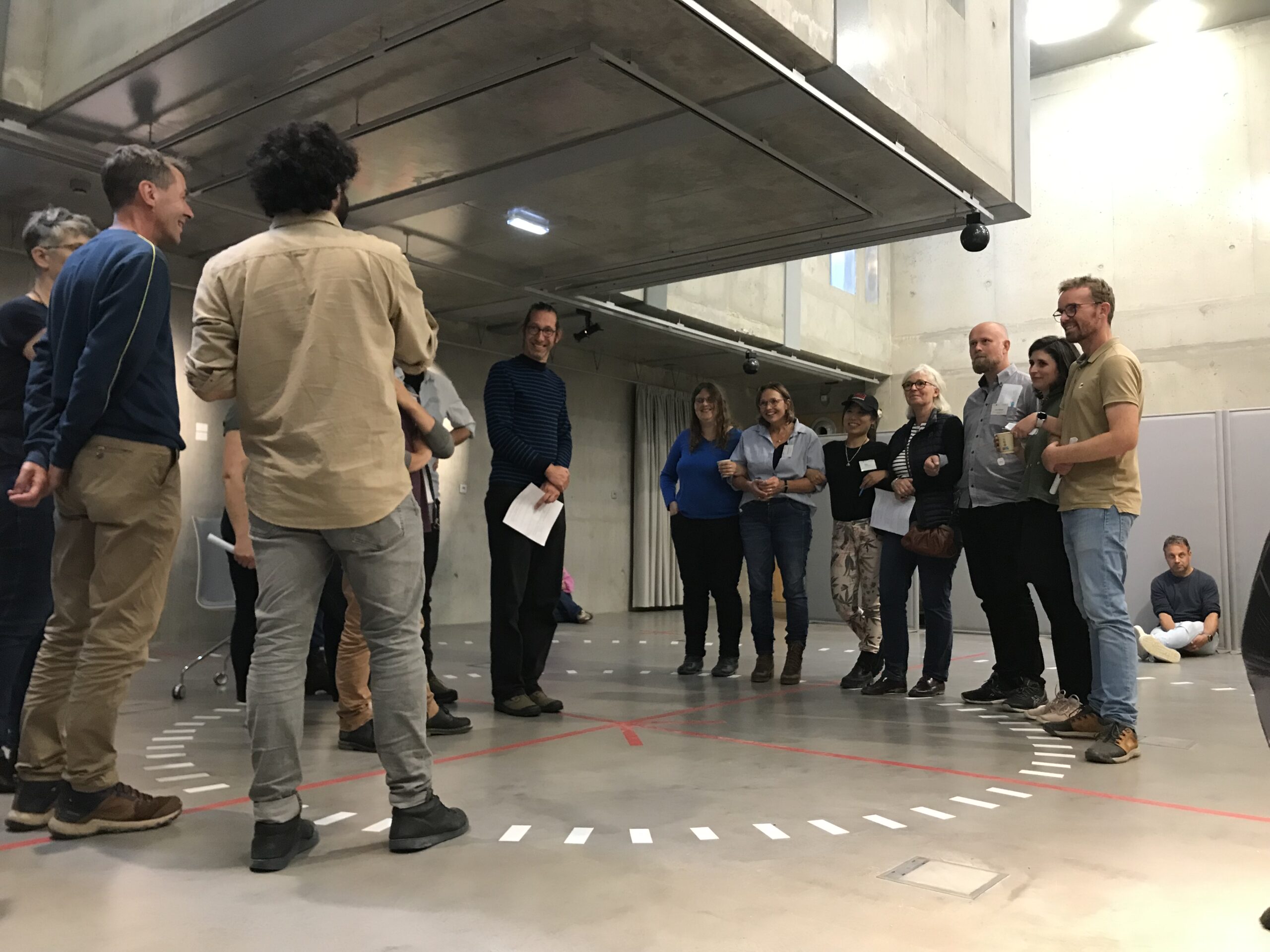
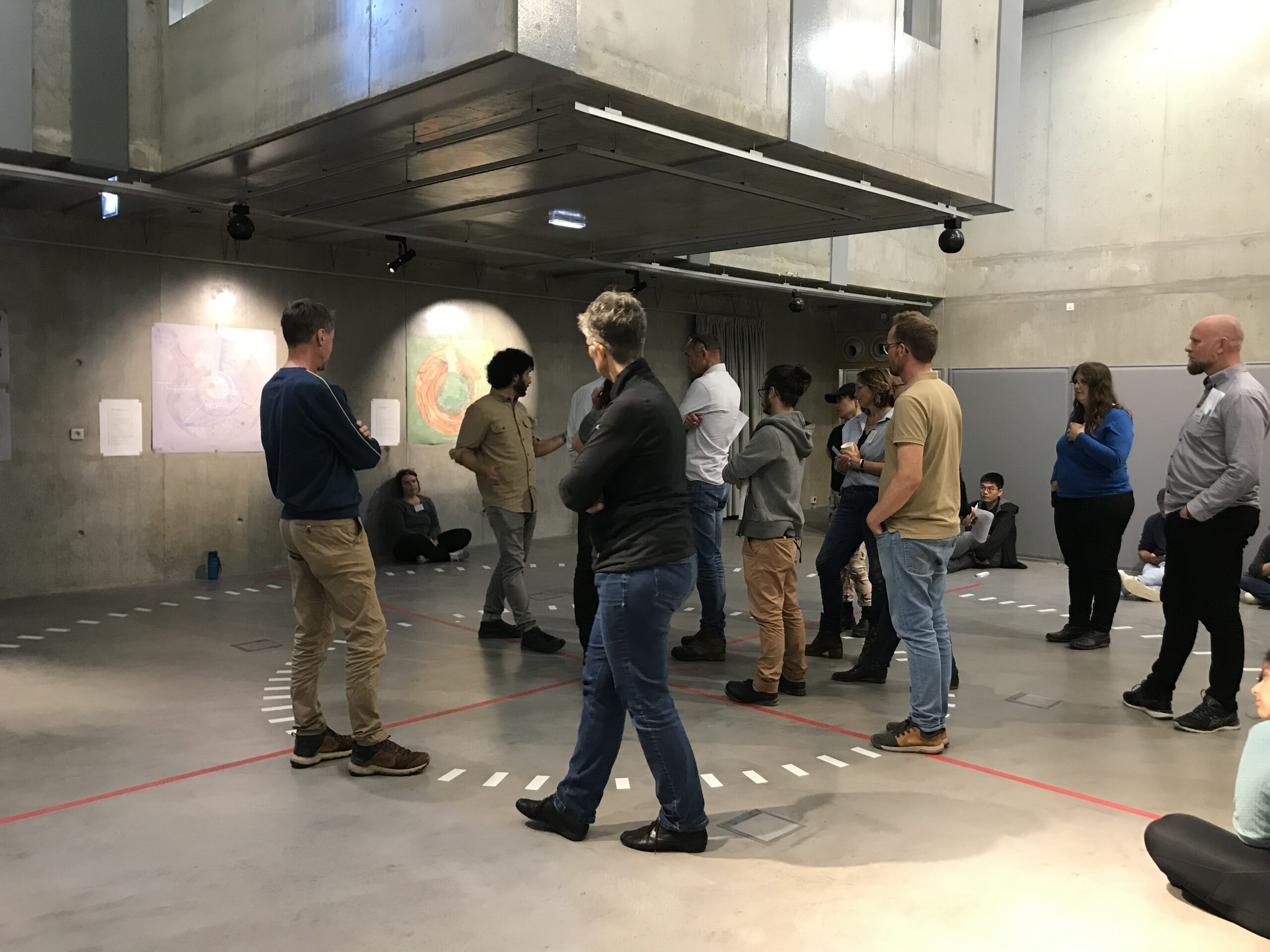
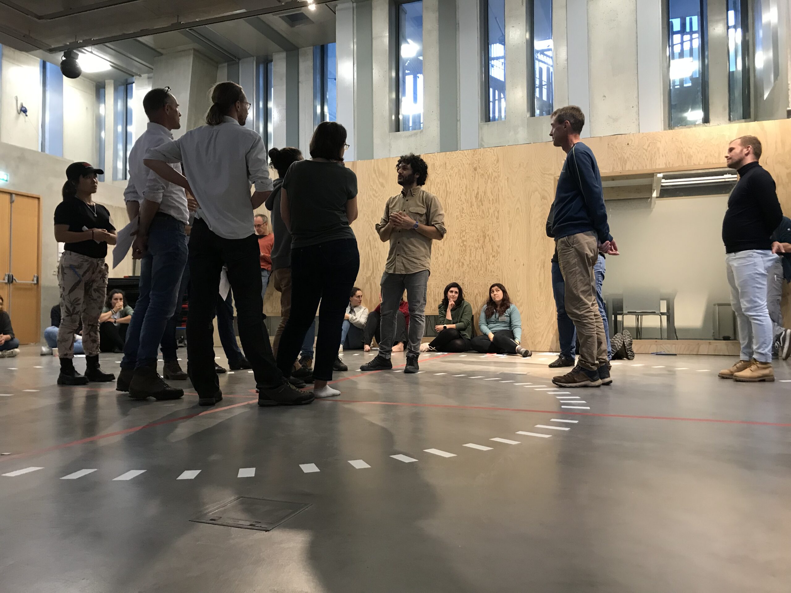
Here, we tested how the compass can become a project management tool. We thought together about the controversies surrounding water: allies / enemies (or allies / obstacles), and we ‘moved’ around the compass drawn on the ground.
The threatened entity at the centre of the compass was drinking water, represented by three people. A quick summary of the compass session is given below.
Without going into detail about the entities and placements, we can just see that the identification of an enemy front necessitated the organisation of a previously scattered front of allies, and by calling on entities previously not considered as potential allies, or unknown. The collective has identified a number of levers for action and the questions it will have to answer in the coming years.